GREATER MELBOURNE SURVEYORS offers highly accurate AHD surveys in Melbourne to establish true elevation data for your property or project. Using the Australian Height Datum as the national reference, we measure height levels essential for design, drainage, and flood analysis. Our expert team uses advanced surveying instruments to capture detailed vertical information that meets council and engineering standards.
Whether for residential construction or major infrastructure, our reliable AHD surveys provide essential data that ensures your project’s compliance, safety, and precision from planning through to completion.
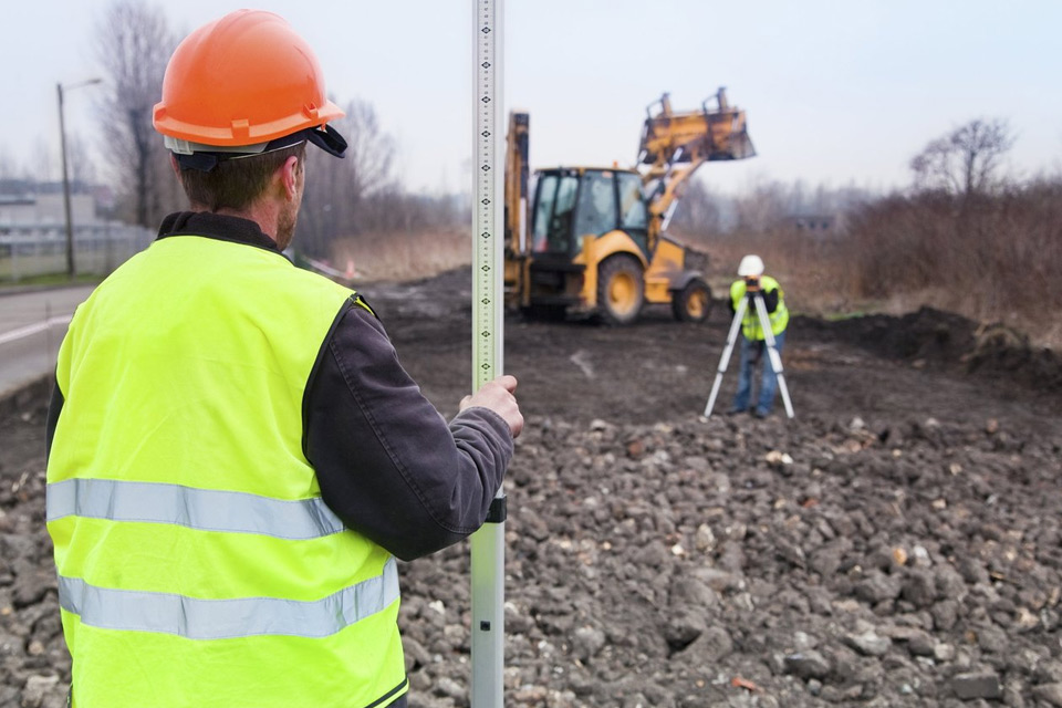
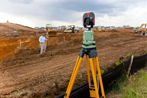
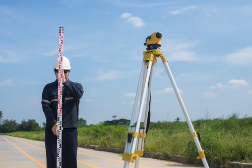
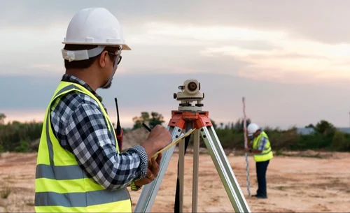
At GREATER MELBOURNE SURVEYORS, we combine modern technology with technical precision to deliver reliable AHD-level surveying results. Our specialists use high-accuracy instruments to capture elevation data for residential, commercial, and civil engineering projects. Every survey aligns precisely with the Australian Height Datum to ensure uniform height references across all plans. This process plays a vital role in flood control studies, infrastructure layouts, and development planning.
With decades of experience and a focus on accuracy, we deliver dependable elevation insights that guide safe, compliant, and efficient project execution.
In addition to AHD services, GREATER MELBOURNE SURVEYORS are trusted boundary survey specialists, offering full land measurement and verification solutions. We help property owners and developers define exact boundary lines, identify encroachments, and maintain legal clarity. Our team provides comprehensive data that integrates height and boundary information for a complete land assessment.
If it’s a small residential block or a complex infrastructure site, our surveying expertise ensures every project meets planning, legal, and engineering requirements, supporting smooth approvals and reliable outcomes across Melbourne and surrounding regions.
Automated page speed optimizations for fast site performance